2006
TG3717 : Ludham Bridge Drainage Mill
taken 18 years ago, near to Upper Street, Norfolk, England
This is 1 of 27 images, with title starting with Ludham Bridge in this square
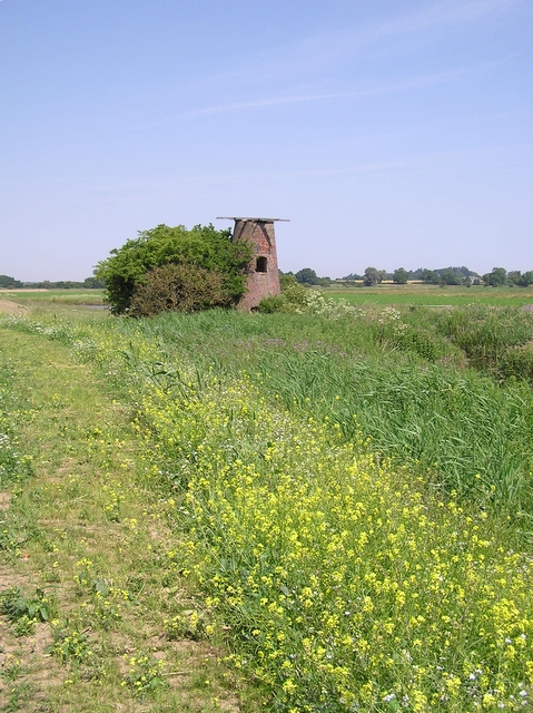
Ludham Bridge Drainage Mill
One of the many derelict mills in the area.
 Map © Crown Copyright")
TIP: Click the map for more Large scale mapping
- Grid Square
- TG3717, 76 images (more nearby 🔍)
- Photographer
- Katy Walters (more nearby)
- Date Taken
- Tuesday, 4 July, 2006 (more nearby)
- Submitted
- Thursday, 6 July, 2006
- Subject Location
-
OSGB36:
 TG 371 172 [100m precision]
WGS84: 52:42.0308N 1:30.4677E - Camera Location
-
OSGB36: TG 372 171
- View Direction
- Northwest (about 315 degrees)