2012
TQ0106 : River Arun, Arundel, Sussex
taken 12 years ago, near to Arundel, West Sussex, England
This is 1 of 3 images, with title River Arun, Arundel, Sussex in this square
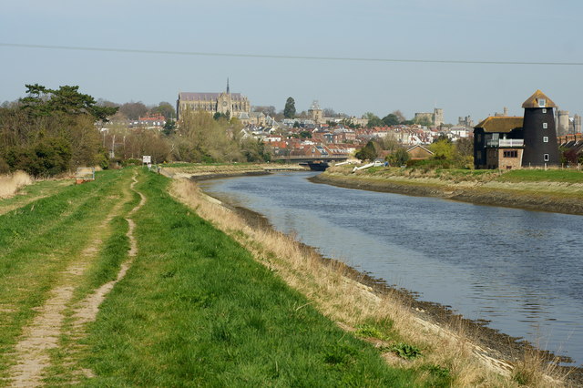
River Arun, Arundel, Sussex
View towards Arundel, with the former South Marsh windmill seen to the right of picture.
 Map © Crown Copyright")
TIP: Click the map for more Large scale mapping
- Grid Square
- TQ0106, 252 images (more nearby 🔍)
- Photographer
- Peter Trimming (more nearby)
- Date Taken
- Thursday, 29 March, 2012 (more nearby)
- Submitted
- Friday, 30 March, 2012
- Subject Location
-
OSGB36:
 TQ 0124 0635 [10m precision]
WGS84: 50:50.8694N 0:33.7974W - Camera Location
-
OSGB36: TQ 0114 0619
- View Direction
- North-northeast (about 22 degrees)