2008
TG2042 : East Runton Tower Windmill
taken 16 years ago, near to East Runton, Norfolk, England
This is 1 of 14 images, with title starting with East Runton in this square
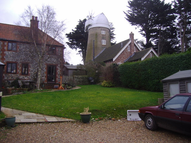
East Runton Tower Windmill
East Runton Tower Windmill is on the south eastern edge of the village close to the Bittern Line railway between Cromer and Sheringham. The mill is thought to have been built around 1826. The mill stopped work in 1908
 Map © Crown Copyright")
TIP: Click the map for more Large scale mapping
- Grid Square
- TG2042, 141 images (more nearby 🔍)
- Photographer
- Mark Hobbs (more nearby)
- Date Taken
- Wednesday, 23 January, 2008 (more nearby)
- Submitted
- Wednesday, 23 January, 2008
- Subject Location
-
OSGB36:
 TG 201 423 [100m precision]
WGS84: 52:55.9773N 1:16.4127E - Camera Location
-
OSGB36: TG 199 424
- View Direction
- East-southeast (about 112 degrees)