2008
TG1143 : View south from access track
taken 16 years ago, near to Weybourne, Norfolk, England
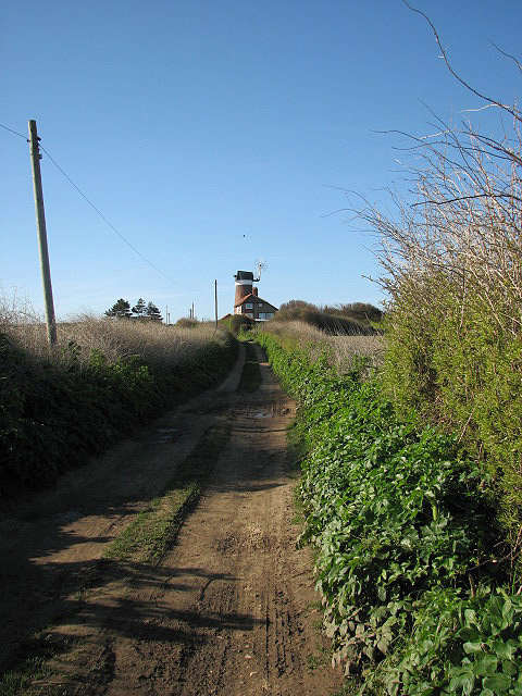
View south from access track
The track provides access to cottages on the headland > TG1143 : Beside the Norfolk Coast Path; the view is south towards > TG1143 : Weybourne Mill and the A149 (Sheringham Road) beyond. See > TG1143 : Access track for a view in the opposite direction.
 Map © Crown Copyright")
TIP: Click the map for more Large scale mapping
- Grid Square
- TG1143, 395 images (more nearby 🔍)
- Photographer
- Evelyn Simak (more nearby)
- Date Taken
- Thursday, 3 April, 2008 (more nearby)
- Submitted
- Thursday, 3 April, 2008
- Subject Location
-
OSGB36:
 TG 115 432 [100m precision]
WGS84: 52:56.6993N 1:8.8655E - Camera Location
-
OSGB36: TG 116 434
- View Direction
- South-southwest (about 202 degrees)